UN
4 Farm Lane
£ 139,000
Description
We don't have a Description for this property.
- Bedrooms
- 2
- Bathrooms
- 0

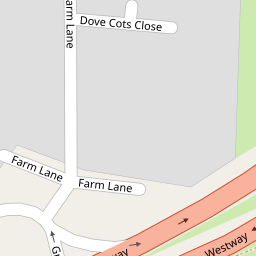


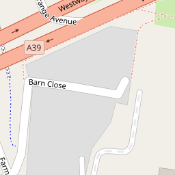

Leaflet © OpenStreetMap contributors
The heatmap indicates the level of crime in the area. The color of the heatmap indicates the crime severity and recency.
Metrics Year-on-Year
- Average area value
- 214,127.00 £Decreased by 1.46 %
- Average area rental value
- 1,086.00 £/moIncreased by 18.04 %
- Est rental Yield
- 6.09 %Increased by 19.88 %
- Crime Rate
- 7.00 %Unchanged by 0.00 %
from 217,296.00 £
from 920.00 £/mo
from 5.08 %
from 7.00 %
Nearby Schools
| Name | Type | Ofsted | Distance |
|---|---|---|---|
| Hindhayes Infant School | Community School | Good | 1.02 KM |
| Strode College | Further Education | Outstanding | 1.07 KM |
| Crispin School Academy | Academy Converter | Good | 1.12 KM |
| Elmhurst Junior School | Community School | Requires improvement | 1.24 KM |
| Street Building | Children's Centre Linked Site | 1.71 KM |
Images
Nearby Streets
| Name | Average Price | Average Sqft | Distance |
|---|---|---|---|
| Barn Close | £ 0 | 0 | 0.00 KM |
| Little Orchard | £ 0 | 0 | 0.00 KM |
| Oriel Road | £ 0 | 0 | 0.00 KM |
| Springfield | £ 0 | 0 | 0.00 KM |
| Church Road | £ 0 | 0 | 0.00 KM |
Nearby Listings
| Address | Price | Type | Score | Distance |
|---|---|---|---|---|
| Grange Avenue, Street, BA16 | £ 225,000 | BUY | 6 / 10 | 0.09 KM |
| Barn Close, Street | £ 235,000 | BUY | 6 / 10 | 0.15 KM |
| The Whithys, Street, BA16 | £ 129,950 | BUY | 5 / 10 | 0.19 KM |
| The Whithys, Street | £ 138,000 | BUY | 5 / 10 | 0.22 KM |
| Grange Avenue, Street | £ 350,000 | BUY | 7 / 10 | 0.23 KM |
Nearby Properties
| Address | Price | Distance |
|---|---|---|
| 2 Farm Lane | £ 134,000 | 0.00 KM |
| 4 Farm Lane | £ 139,000 | 0.00 KM |
| 3 Farm Lane | £ 175,000 | 0.07 KM |
| 2 Dove Cots Close | £ 165,000 | 0.10 KM |
| 6 Dove Cots Close | £ 162,950 | 0.10 KM |